Influence of Climate and Environmental Factors on the Thermal and Moisture Regimes of the Active Layer and Permafrost
Project Summary

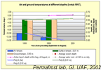
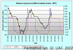
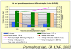
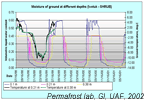
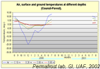
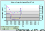
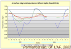
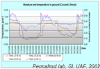
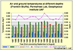
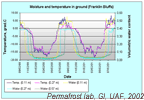
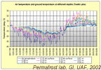
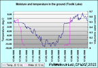
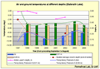
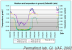
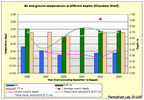
The intensive comparative investigation of permafrost's dynamic in different regions of Alaska began in 1996 and continues now. These works are in progress in the network of NSF-projects in collaboration with groups of soil scientists, botanists and physicists. As a result of investigations the large array of temperature and moisture data was getting.
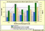
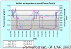
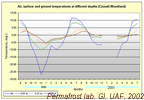
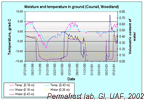
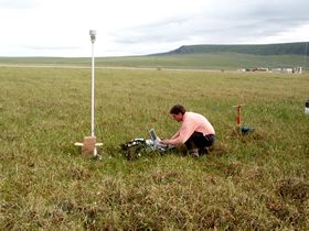
The observations were organized along the Northern part of Trans Alaskan Pipeline Road, in basin of Ivotuk-river (Northwest foothills of Brooks range) and Council region (adjacent Nome). Every region of investigation represent by several sites, those situated in different landscape undisturbed conditions (geographical location, altitude, relief, vegetation, type of ground). The obtained data are valid for comparative study of permafrost's active layer reaction for climate change - particularly for oscillations of air temperature and of snow depth. The comparison of influence of permafrost temperature factors between the sites in every region and between the regions of investigation show the rich possibility to use permafrost behaviors for estimate the value of climate change for different components of environment. We use the equipment of the following companies: Campbell Scientific Inc., Onset Computer Corporation, and Vitel Inc.
The results show that permafrost is a very convenient and precise indicator of integral climatic change. On the other hand, permafrost's alterations draw changes of micro relief, vegetation (as well as albedo of the physical surface), hydrological regime and all exogenous processes.
These interactions are important because the air temperature warming predicted in the Arctic from increases in greenhouse gases will cause permafrost to thaw as the active layer becomes thicker.
A better understanding of the linkages between the atmosphere, soil surface, active layer, and permafrost is required to answer questions regarding the rate and extent of permafrost degradation, modifications to its thermal regime, release of carbon and trace gases by thawing permafrost, changes in soil moisture, the biota, the hydrological cycle, the development, calibration, and validation of different scale numerical models of land-atmosphere interactions.
The authors have plans to continue the research - for keeping the long-term series of observation and go to expand the investigation's areas, take into account the interests of adjoining branches of ARCSS and LAII projects.
For more data on Ivotuk see also Ivotuk-CD project.
All numeric data stored in the National Snow & Ice Data Center
Profile with permafrost data along the Northern Alaska transect.
| Annual ground temperature | Average snow's and active layer depth, m |
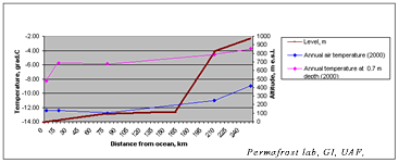 | 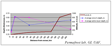 |
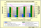
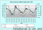
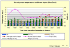
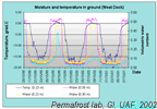
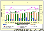
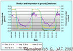
Permafrost temperatures and active layer thickness near the coast (within about 25 km) have undergone much larger changes compared to sites farther inland. This suggests that coastal areas may be much more sensitive to change than the inland sites or that the driving forces for change are greater in coastal areas. You can see the difference between climatic and permafrost peculiarities of sites West Dock (on the coast) and Deadhorse (approximately 20 km to South of West Dock).
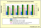
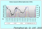
The second important factor of variability of permafrost characteristics is the vertical geotemperature zonality. In mountains the climate and permafrost are warmer than on the North Slope. Active layer depth here is more variable.


