North Slope Snow Survey April 2018
Project Personel
Main Contact: Dr. Dmitry Nicolsky
Scientific Personel: Matvey Debolskiy, Dmitry Nicolsky, Kirill Dolgikh and Vladimir Romanovsky
Collaborators: TBA
Partner Organizations: TBA
Project Summary
Project Synopsis:
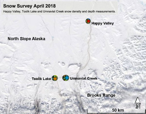
During April 2018 a snow survey was conducted on the North Slope, Alaska. This year's survey visided sites at Toolik Lake, Umnaviat Creek and Happy Valley. At these sites the field crew measured snow density and depth (multiple depths within the snow pack) and tooks notes and photographs on the snow condition with attention to the presence of Wind-Slab and Depth-Hoar and GPS surface-locations. Snow density when multiplied by depth gives Snow Water Equivalent (SWE). SWE is an important environment parameter which gives a measure of the available water equivalent for ecosystems, surface hydrology and runoff, permafrost and vegetation health.

Figure 1. Satellite view of the April 2018 Snow Survey sites on the North Slope, Alaska. Locations are given.
Snow is a sediment. Newly fallen snow has a bulk density of about 0.01 grams per cubic centimeter (1 kg/m^3). On the surface the ice crystals of snow are very close the thermodynamic triple-point of solid-liquid-gas. Over a "snow season" the crystals undergo metamorphsis and sinistration with an increase in bulk density, sometime as much as 0.3 grams per cubic centimeter. Even denser layers at the surface called wind-slab can form and near the bottom of the snow pack very large crystals, called depth-hoar with very low bulk density can occur.
Hypotheses
TBA
TBA
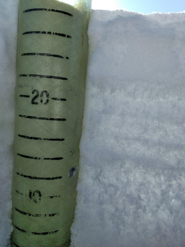
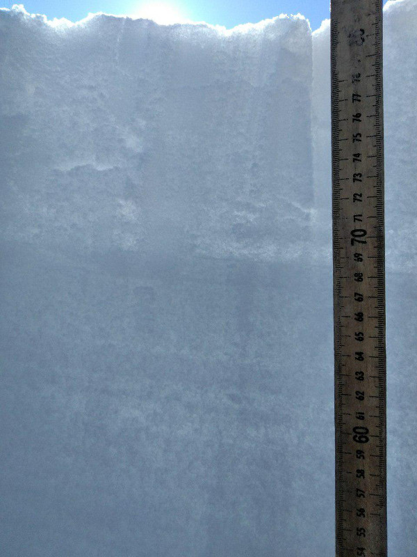
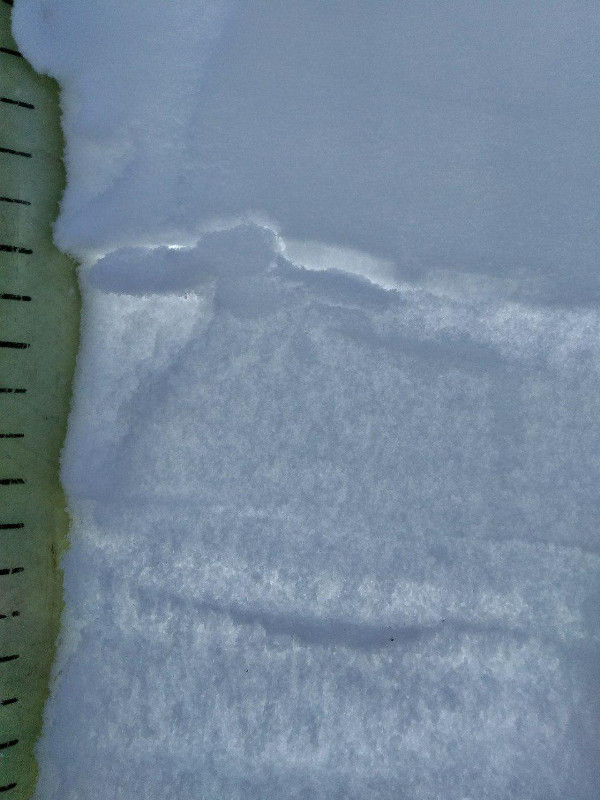
Happy Valley site, Toolik Lake Field Station site, Umnaviat Creek site.

Figure 2. Happy Valley site. Core measures are in centimeters.

Figure 3. Toolik Site. Tape measure is in centimeters.

Figure 4. Umnaviat Site. Snow layering, a function of crystal size and bulk density is very noticable.
Snow density and depth at several locations within each site.
TBA
TBA
TBA


